The City of Greensboro has begun the process to redraw the “Airport Overlay District” around the Piedmont Triad International Airport.
The proposal from the Greensboro Planning Department will make a total of 1,464 acres available for more residential development in the airport area.
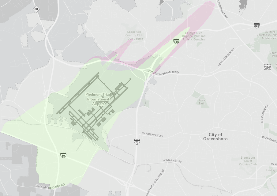
The “Airport Overlay District” places additional restrictions on the development of land in the district, all but prohibiting residential development with the exception of single-family houses on large lots greater than 40,000 square feet. The 667 acres of land that the Planning Department is proposing to remove from the Airport Overlay District if it is approved will allow multi-family residential development such as apartments, condominiums and townhomes.
The proposal also calls for adding 213 acres of land that is currently zoned for commercial use to the Airport Overlay District. Some mixed-use residential uses are allowed in commercial zoning, but if this acreage is added to the Airport Overlay District, that land will no longer be available for any residential development because of the Airport Overlay District restrictions.
PTIA did a study in 2007 that showed a change in the noise impacts from airport operations. The area is commonly referred to as the “noise cone” and the city’s Airport Overlay District has the same boundary as the noise cone.
The Planning Department’s proposed changes will remove some land from the current Airport Overlay District, add some land that is currently not in the Airport Overlay District to the district and some land currently in the district will have new developmental guidelines.
According to the Federal Aviation Authority (FAA), all land uses are acceptable in areas around an airport with the Day/Night Average Sound Level (DNL) of 65 dB or lower. The city uses a DNL of 60 dB and that will not be changed.
The proposal is set to be heard by the Zoning Commission on Monday, Nov. 16 and by the Greensboro City Council on Tuesday, Dec. 15.
