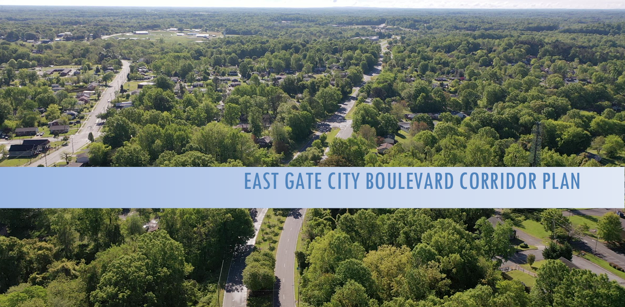
Before unanimously passing the East Gate City Boulevard Corridor Plan, the Greensboro city councilmembers asked and discussed where it was.
At the Wednesday, Aug. 3 City Council meeting, City Councilmember Sharon Hightower was the first to ask for more information about what the boundaries were for the corridor plan.
Hightower noted that in one part of the East Gate City Boulevard Corridor Plan, the boundaries were listed as McConnell Road and Florida Street, while in another part the plan listed the boundaries as South Elm-Eugene Street to the I-40 interchange.
She said her understanding was the East Gate City Boulevard Corridor Plan was in Council District 1 and District 2, but that District 3 Councilmember Zack Matheny said part of his district was included in the planning area as well.
Later District 2 Councilmember Goldie Well said, “The map shows a little zigzag and it goes up to Freeman Mill Road.”
Greensboro Planning Department Long Range Planning Manager Russ Clegg explained that the extended boundary was used for notification.
Planning Department Director Sue Schwartz said, “You have to keep in mind that this is not a regulatory plan but a general guide for growth and investment. So there is no absolute and hard boundary. Some of the boundaries are actually dictated more by where we can get data.”
Hightower asked, “What are our next steps. Because you know we are good at corridor studies and we are good at area plans. We are good at that, but what are our next steps because that’s why we’re in a fix now with Randleman Road.”
Clegg said, “The first step, we are going to get the folks we worked with during the plan together to just sort of celebrate having this plan established and adopted and then talk about how we can facilitate having some long term conversations to make sure there is a common voice and a place to discuss activities that will happen on the corridor.”
Clegg also noted some “ongoing projects” in the area covered by the new corridor plan.

Sound familiar? Another council SNAFU in the oven.
Why don’t you “develop” the rest of the city, too? Seems to me that development is a function of private enterprise.
Was that what is known as “word salad”?
Sounds like Hightower doesn’t want district 3 included in the carveout for the east gate city corridor. Does any of east gate city Blvd stretch through district 3?
They are developing other areas of the city. Their goal is to make the whole city a dirty, crime infected section 8 wasteland.
And these are the people currently doing a survey asking for opinions as to what the citizens think about the quality of life in Greensboro and how well the politicians are planning for the future. Go figure.