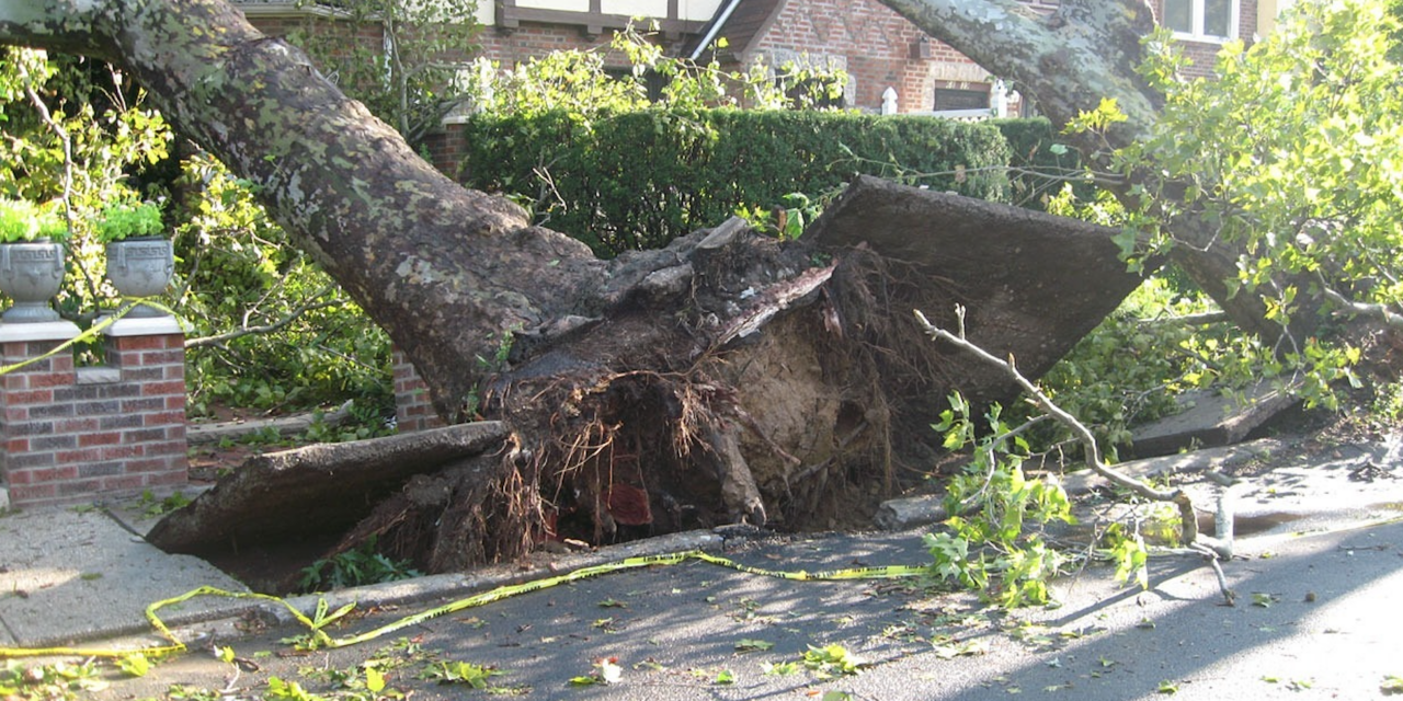
Based on all the rain that’s been falling lately, you might think that every inch of Guilford County is at risk of flooding and flood damage.
However, riskfactor.com – a free data-driven online tool created by the nonprofit First Street Foundation – doesn’t find flooding to be a major issue in the county overall.
The site breaks down the threat of different types of environmental risks by zip code, city, county and state – and it provides people with knowledge about the likelihood that floods, fire, excessive heat and other dangers will damage your property or your safety.
For instance, according to extensive data aggregated by the online tool, the county as a whole only has a “minor” chance of flooding. The site states 10,301 properties in Guilford County have greater than a 26 percent chance of “being severely affected by flooding over the next 30 years.”
This represents about 5 percent of all property in Guilford County.
As for roads, 667 out of 5,643 miles of road in the county are in danger of becoming impassable due to flooding.
The site also found that only six “critical infrastructure” facilities – such as hospitals, Emergency Services bases, police department buildings, fire stations etc. – out of 134 have a risk of flooding.
Using the same 30-year time horizon, riskfactor finds that 18,528 properties in Guilford County have some risk of being affected by a wildfire during that period – though the site points out that the county falls in the “minor” threat category for wildfire.
Wind is considered by the tool as being a “moderate” threat in the county. According to the online tool, 213,840 properties in Guilford County have some risk of being severe wind damage in the next 30 years.
The only threat the site lists as “major” for Guilford County is heat. The county is expected to see 143 percent increase in the number of days over 103 degrees within the next 30 years.
If you want to find data about specific zip codes, you can go to riskfactor.com and just type in the zip code.

Not true…flooded with taxes and other hot air from city and county. We have become the pits.
how many days did it get > 103* in the past 30 years ? just crank up the a/c & spew some more global warmness.
The biggest risk is surviving the LEFT.
The weather is being manipulated all the time… Whether it is cloud seeding, global spraying, HAARP, DEW’s or any number of the other methods that are actively being used… It is not hard for intelligence agencies to start wild fires, floods or hurricanes in order to scare people into modifying their behavior or to buy up land. Many people are just clueless and cannot fathom that the technology exists, or that people can be that evil or that hidden organizations can operate without their knowing.